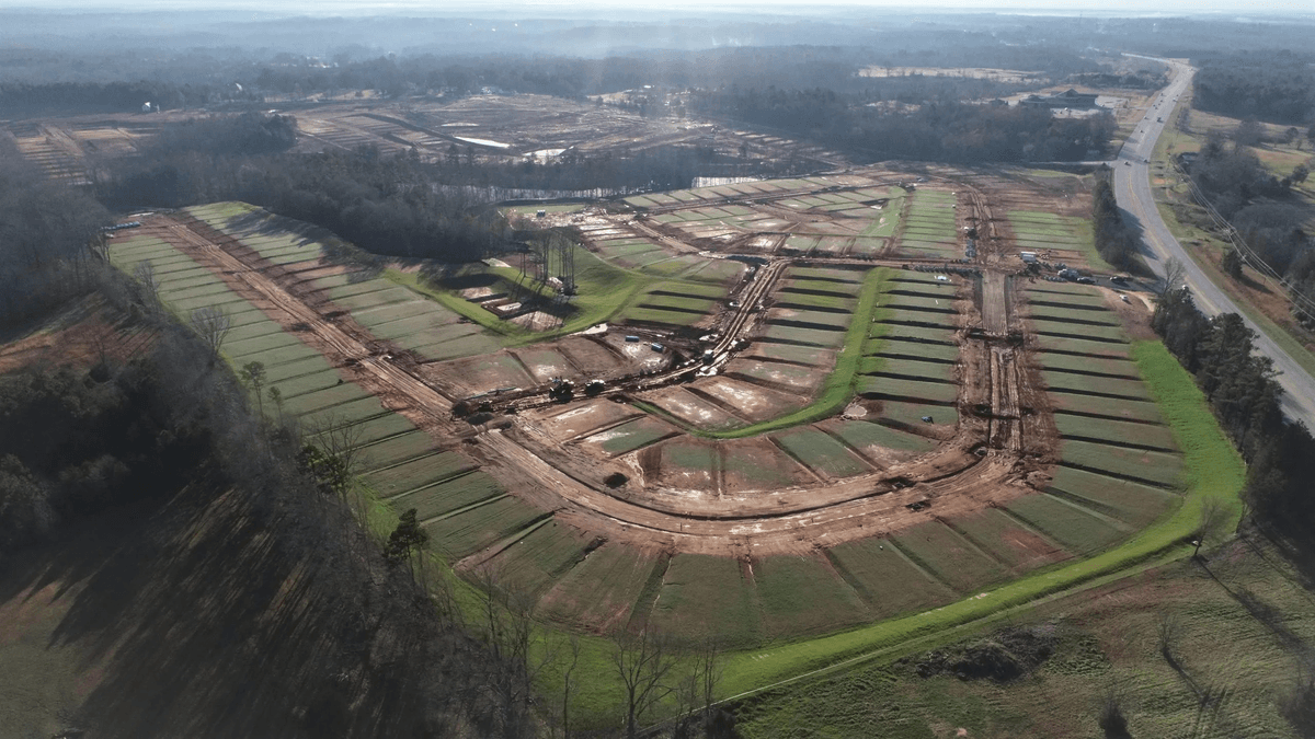
Stop Building Models.
Start Running Jobs.
SkyTerra builds Trimble-ready GPS models and quantity takeoffs so you're back on the job site, not behind a screen. Fast turnaround, no contracts, no retainers. Files guaranteed to load or we fix them free.
What We Do
Two services. One outcome: your crew starts moving dirt on schedule with numbers you can trust.
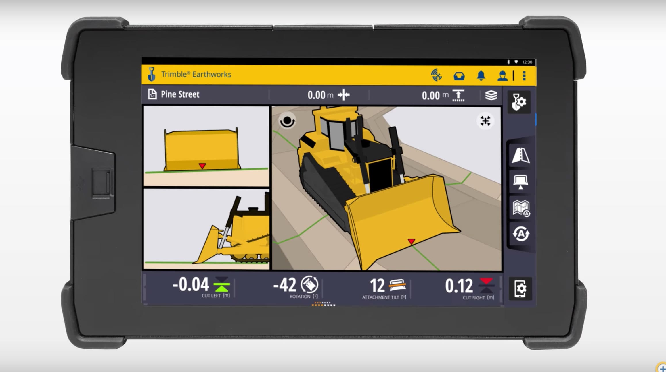
GPS Machine Control Models
Your operator loads the files and starts grading. That's it.
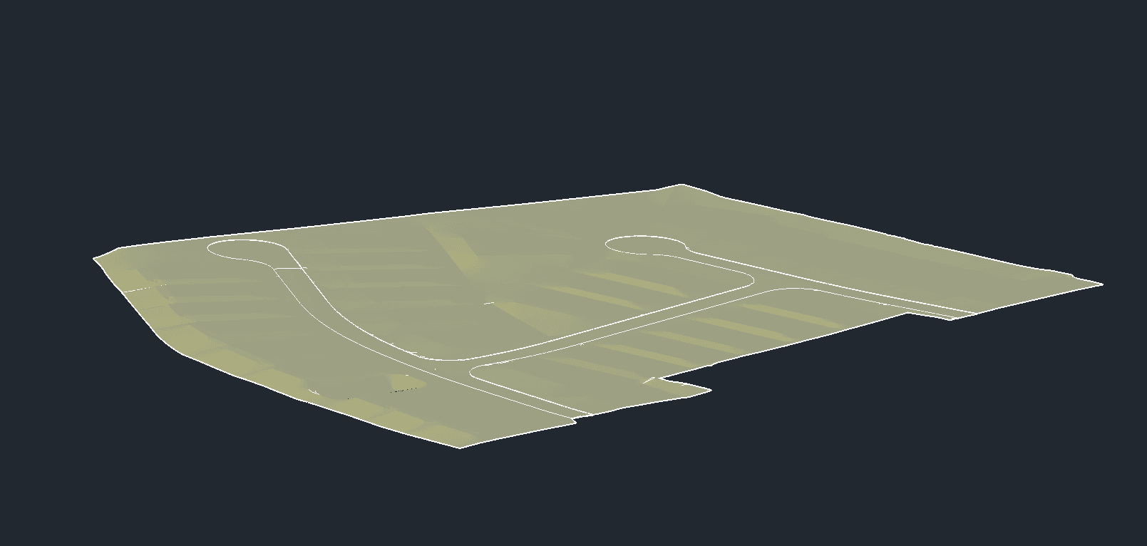
We build Trimble-ready grading surfaces, alignments, and utility models from your civil plan sets. Single surfaces in 2-3 business days. Full site packages in 7. No cleanup on your end. No rework. If the files don't load correctly, we fix them at no charge.
Who it's for
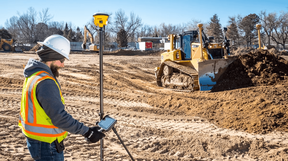
Grading, site, utility, and earthwork contractors running Trimble GPS systems who need accurate models without hiring a full-time model builder.
Grading Surfaces
Finish grade, subgrade, over-excavation — built to the grades on your plans.
Roadway & Alignment Models
Corridor work, curb profiles, and station-based road grading.
Utility Layouts
Storm, sewer, water — organized pipe runs and structure locations.
Field-Ready File Package
Clearly named, organized, and ready to load directly to your Trimble controller. No guessing.
How It Works
Three steps from plan set to production-ready GPS files.
Send Your Plans
Send us your civil plan set and survey CAD file. We'll review the scope and confirm turnaround.
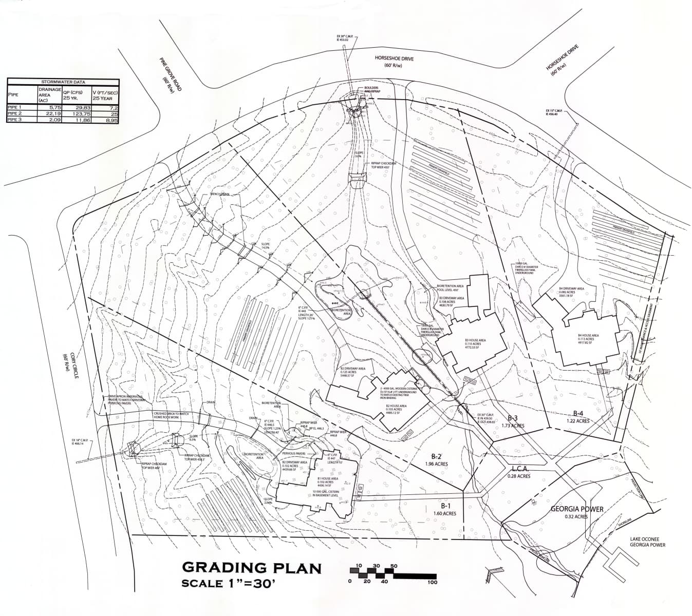
We Build Your Models
Our team creates Trimble-ready GPS models from your plans - grading surfaces, alignments, utility layouts - organized and field-usable.
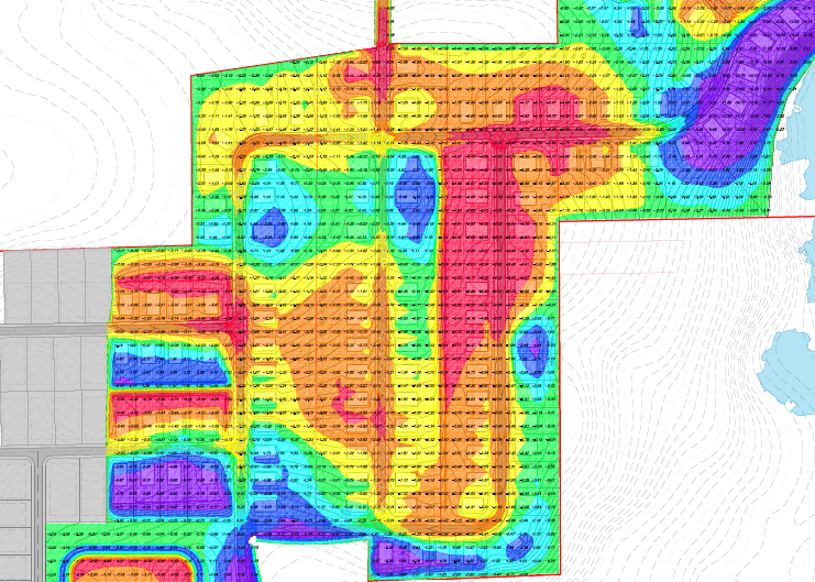
Load and Go
You get clean, packaged files ready to load directly to your Trimble controller. Your crew starts grading with confidence.
Why Contractors Choose SkyTerra
You shouldn't wait a week for files that don't work in your controller, or lose a Saturday doing takeoffs for a bid you might not win. We built SkyTerra to fix that.
Trimble-Specific
We don't do generic CAD. Every model is built specifically for Trimble GPS machine control systems.
Contractor-Ready Output
Files are organized, clearly named, and ready for the field - not raw design data that needs rework.
Fast Turnaround
We know the schedule matters. Single surfaces delivered in 2-3 business days. Full site packages in 7. Rush options available.
Guaranteed to Work
If your files don't load correctly to your Trimble controller, we fix them at no charge within 24 hours. No questions, no runaround.
What You Get
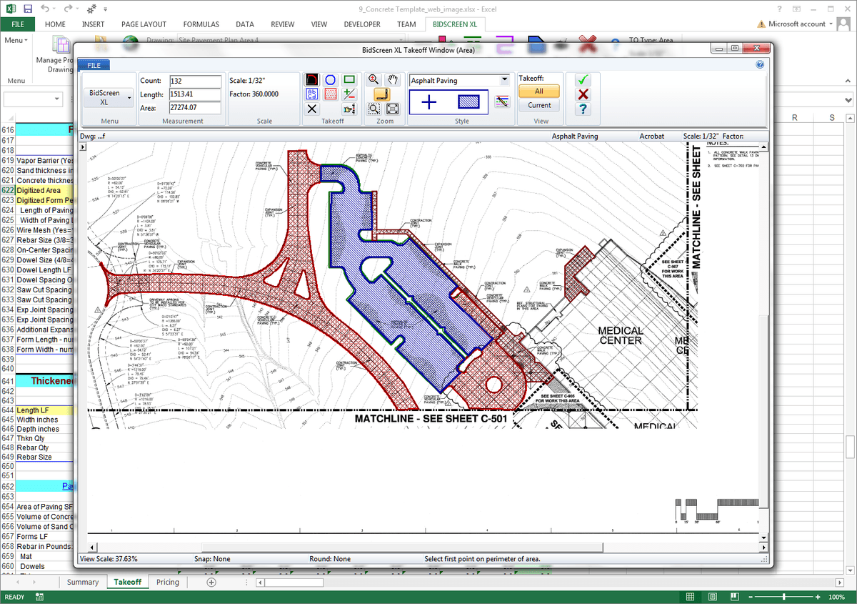
Every delivery is a complete, field-ready package - not a pile of unnamed files you have to sort through.
Grading Surfaces
Finish grade, subgrade, and over-excavation surfaces built to your plan set.
Alignments & Corridors
Road centerlines, curb profiles, and station-based corridor models.
Utility Layouts
Pipe runs, structure locations, and invert data organized by system.
Clearly Named Files
Every file labeled by surface type, phase, and use - no guessing in the field.
Trimble-Ready Format
Exported and packaged for direct loading to your Trimble field controller.
Scope & Revision Notes
A summary of what's included so you and your crew know exactly what you're working with.
Straightforward Pricing
No hidden fees. You send plans, we quote the job, you pay when the work is delivered.
Single Surface
starting at
One grading surface from a plan set. Simple pads, small lots, or single-phase work.
- 1 grading surface (FG, SG, or OE)
- Trimble-ready export
- Organized file delivery
- 2-3 business day turnaround
Full Site Package
starting at
Multiple surfaces and alignments for a complete site. Subdivision phases, commercial pads, roadway jobs.
- Multiple grading surfaces
- Alignments & corridor models
- Utility layout support
- Trimble-ready export
- File packaging & naming
- 7 business day turnaround
Large / Multi-Phase
quoted per scope
Full subdivisions, multi-phase sites, or ongoing project support.
- Everything in Full Site
- Multi-phase model sets
- Revision support as plans change
- Priority turnaround available
- Dedicated project coordination
Add-Ons
Guaranteed to Load
Every machine control delivery is guaranteed to load correctly to your Trimble controller. If something doesn't work, we fix it at no charge within 24 hours — no questions asked.
All pricing is based on scope and complexity. Send your plans for an exact quote — no obligation.
Built for Contractors Like You
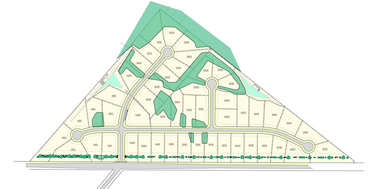
SkyTerra works with grading contractors, site contractors, utility contractors, and earthwork companies across the Southeast and beyond. If your crew runs Trimble and you need models that actually work in the field, we're built for you.
Common Questions
Straight answers. No runaround.
For machine control models, we need a civil plan set and a survey CAD file (.dwg or .dgn) so the model is geographically correct. If you only have a PDF plan set, we can still work with it — we just need survey data or a coordinate reference to ensure accuracy. For quantity takeoffs, send us the bid documents and plans.
Single surface machine control models are delivered in 2-3 business days. Full site packages take 7 business days. Quantity takeoff turnaround depends on your bid deadline — we work to your schedule. Rush delivery is available for an additional 50% fee, with 24-hour turnaround on most projects.
We deliver files ready to load directly into Trimble field controllers running Earthworks or GCS900. Surfaces, alignments, and linework are exported in Trimble-compatible formats and organized by type with clear naming so your crew can load them without confusion.
We fix them at no charge within 24 hours. Every machine control delivery is guaranteed to load correctly to your Trimble controller. If something doesn't work the way it should, call or email us and we'll turn around a corrected set — no questions asked.
For machine control models, yes — we specialize exclusively in Trimble GPS systems. That focus is what lets us deliver models that actually work the first time they hit the controller. We know Trimble Earthworks and GCS900 inside and out. Our quantity takeoff service is equipment-agnostic.
Yes. We offer monthly retainers starting at $2,000/month for contractors who need ongoing estimating capacity. You get 2-4 bids per month with priority turnaround and a dedicated point of contact — a fraction of what a full-time estimator costs.
Machine control models start at $400 for a single surface. A full site package starts at $2,000. Quantity takeoffs start at $500 per project. Full bid support runs $1,500-$4,000 depending on scope. Send us your plans and we'll quote it — no obligation, no minimums.
Minor revisions based on the original scope are included. Significant plan changes — new phases, major grading revisions — are quoted separately at $150-$300 so there are no surprises. We confirm before we do any additional work.
Send Your Plans. Get a Quote by Tomorrow.
We review your scope and respond within 24 hours — usually faster. No obligation, no minimums, no contracts.
Get in Touch
We typically respond within 24 hours. For urgent requests, call us directly.
info@skyterramc.com(334) 489-2300